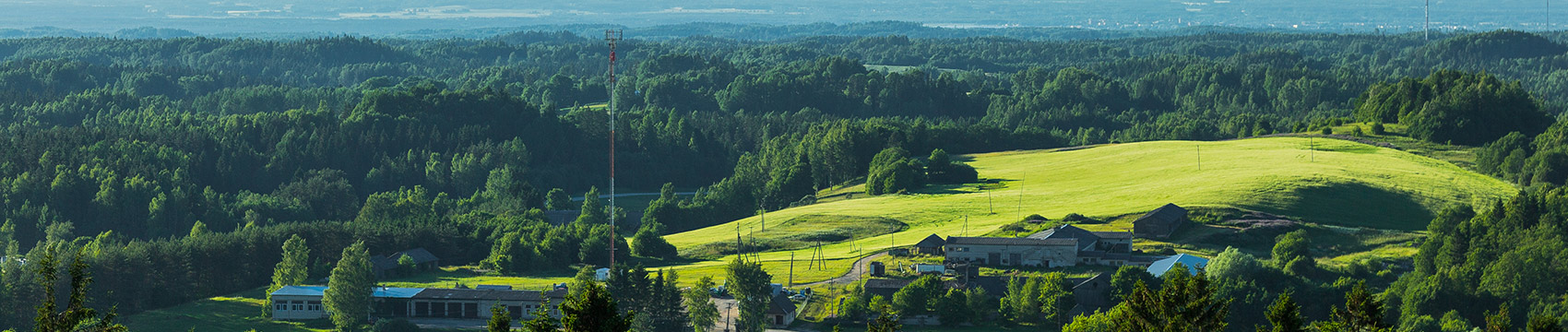
The nature and landscape of Võru County makes it a perfect place for those who love to wander and there’s something for everyone whatever the season. Experience the energy and beauty of nature. Hiking trails, picturesque views, and camping in forest huts off the beaten track. A surprise at each turn, an amazing view from every hilltop!
The hiking trails of the State Forest Management Centre (RMK) are divided into three areas in Võru County: Haanja Nature Park, Karula National Park, and the Haanja-Karula Recreational Area.
Hiking trails in Haanja Nature Park
VÄLLAMÄE HIKING TRAIL (2.2km)
On the hiking trail, you will have the chance to experience an imposing difference in heights - Vällamägi is the second-highest mountain in Estonia, one that is covered in virgin forest.
Starting point: Turn left at the 11km mark on the Võru-Haanja road, with a car park 100m further on.
Coordinates: 57°43’52’’N27°3’31’’E
RÕUGE PRIMAL VALLEY HIKING TRAIL (10km)
The trail runs from Ööbikuorg (Nightingale Valley) towards Hinni Canyon, and you get to see the ingenious hydraulic rams, Estonia’s deepest lake, Rõuge Suurjärv, gaze upon the monument to the Estonian Mother, and visit Rõuge Park.
Starting point: Visitor Centre and Ööbikuorg car park (Nightingale Valley), or Hinni Canyon.
Coordinates: 57°43’35’’N 26°56’27’’E
KÜTIORU (HUNTER’S VALLEY) HIKING TRAILS (2.8 and 9.6km)
The depth of the most powerful of Estonia’s primeval valleys, Kütiorg, drops down as far as seventy metres. This primeval valley is characterised by steep slopes which are slashed by numerous gullies (sitting crosswise in respect to the direction of the valley), and these are the largest in Estonia.
Starting point: Kütioru Ski Centre car park. Coordinates: 57°47’10’’N 27°8’56’’E
Hiking trails in Karula National Park
CHILDREN’S NATURE TRAIL AND PLAYGROUND (0.5km)
Children learn to recognise different boulders and rock types, tell the difference between coniferous and leafy trees, bird species, and soil compositions, and find signs of animal activity.
Starting point: Near the Visitor Centre for Karula National Park. Coordinates: 57°42’47’’N 26°30’13’’E
ÄHIJÄRVE ROAD TRAIL (4km)
The trail runs along different types of historically-used roads and tracks, such as a meadow road, the lake shore trail of Lake Ähijärve, forest roads, horse trails, and gravel roads.
Starting point: At the Visitor Centre for Karula National Park. Coordinates: 57°42’47’’N 26°30’13’’E
PERÄJÄRVE FOREST TRAIL (4km)
The trail introduces different forest types, guides for how to use and protect the forest, and teaches about cultural heritage. The trail goes by Lake Perajärve and ends at Lossimäe.
Starting point: Perajärve Village, travel 6km in the direction of Saru from the Visitor Centre for Ähijärve. The hiking trail begins and ends by the car park. Coordinates: 57°41’12”N 26°31’69”E
Hiking trails in the Haanja-Karula Recreational Area
LUHASOO STUDY TRAIL (5km)
The only bog reservation area in Võru County displays all of the bog development stages from low to raised bog. The trail passes by two bog lakes and crosses some bog islands.
Starting point: the car park for the Luhasoo study trail.
Coordinates: 57°40’20’’N 26°53’8’’E
LAKE KIRIKUMÄE HIKING TRAIL (3.2km)
This trail circles around the lake, offering magnificent views of the lake itself and also of the surrounding landscape.
Starting point: 500m from the Kirikumäe bus stop, by the lake’s swimming spot. The trail runs around the lake.
Coordinates: 57°41’14’’N 27°15’9’’E
THE PRIMEVAL VALLEY OF THE RIVER PIUSA HIKING TRAIL (15km)
Sights to be found on this trail include the primeval valley itself, the ruins of Vastseliina Episcopal Castle, Estonia’s highest sand stone exposure, Härma Müür, and several old mill sites.
Starting point: By the ruins of Vastseliina Episcopal Castle or at Jõeveere Farm in Lindora Village.
Coordinates: 57°43’42’’N 27°21’29’’E
PÄHNI FOREST STUDY TRAIL (3km) AND NATURE TRAIL (1.5km)
Points of interest on the forest trail introduce different forest types, tree species, objects of cultural heritage, and signs of animal activity.
Starting point: both trails start and finish by Pähni Nature Centre. There are bulletin boards with maps and information introducing the trails at the start of each of the trails, and the trails are equipped with direction signs.
Coordinates: 57°37’53’’N 26°46’14’’E
RMK PÄHNI POINT OF INFORMATION
Pähni küla, Varstu vald
+372 501 9564
pahni.looduskeskus@rmk.ee
Pähni Point of Information is open: 15 June-30 August, Mon-Sun 11.00-18.00, and 1 September-14 June, Wed-Fri 11.00-16.00
In addition to the hiking trails of the State Forest Management Centre (RMK), there is also Estonia’s Southernmost Point Trail (4.8km), something that is worth discovering. The study trail begins at the huge oak which has a circumference of four metres and which lies within the grounds of Naha Farm, and runs along the border between Estonia and Latvia. Therefore, make sure that you have your ID with you.
Interesting to know: you can’t actually step on the southernmost point of Estonia as the geographical southern tip is about five paces further on from the point which is actually marked on land - in the middle of the River Peetri!
Starting point coordinates: 57°31’22’’N 26°35’92’’E
Further information about hiking trails:
www.loodusegakoos.ee
www.rmk.ee
HIKING TRIP ORGANISERS
Pildiga reklaam ¼ lk Ekstreemmatkad (lisatud eraldi failina)
Pildil:
Ekstreemsport Sports Club
Nature hikes in Haanjamaa
Hiking competitions
Indoor and outdoor mountaineering
Rope descending from the towers in Võru County
Water hiking training and rapids training on Estonian, Finnish, and Norwegian rivers
Mooska Adventure Trips
www.mooska.eu
+372 503 2341
Nature trips, breathing trips, orienteering, pole walking, and snow shoe hikes.
Loodusturism
www.loodusturism.ee
+372 527 2701
Snow shoe hiking, photography hikes, pushbike trips, narrow boat trips, canoe trips, ski trips.
Orav Rattas www.okvoru.ee
+372 506 8377
Adventure and team training, orienteering, adventure hikes, photo hunt, and various sports events.
Haanjamatkad.ee www.haanjamatkad.ee
+372 511 4179
Canoe and bicycle trips and hiking.
Alar Sikk’s Hiking Club www.asmk.ee
Canoe, inflatable boat, and raft trips.
Kirsi Tourist Farm
www.kirsitalu.eu
+372 5330 5452
Narrow boat and boat trips.
Roosu Farm canoe trips www.roosu-talu.ee
+372 510 2331
Tamula Stables
www.tamulatallid.ee
+372 504 8621
Horse riding, horse-riding trips.
Kaldala Organic Farm www.kaldala.com
+372 5342 3346
Bicycle trips, pony rides, caliche rides.
Irvese Holiday Farm www.irvesepuhketalu.ee
+372 52 69463
Nature trips and snow shoe hiking in Haanjamaa. Rafting on the Võhandu and Koiva rivers.
.jpg)